 Surveying
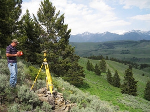
Gaston Engineering & Surveying has a long history of providing a full range of Land Surveying to clients throughout Southwestern Montana. The survey department is staffed by two licensed Professional Land Surveyors who have a combined total of 55 years of experience, as well as three field crews that are equipped with state of the art GPS surveying equipment. Our past projects have included the following:
- Lot boundary surveys and section land surveys
- Preparation of subdivisions and certificates of survey
- ALTA / ACSM and Mortgage surveys
- Topographical surveys (ranging from small lots to 3,500 acre projects utilizing a variety of methods ranging from standard survey equipment to GPS equipped LIDAR aerial imaging and mapping).
- Resource inventory surveys for use in preparing GIS maps and maintaining infrastructure improvements such as water systems.
- Expert testimony and preparation of exhibits of survey for use in litigation
- Surveys required by regulatory agencies such as FEMA Floodplain Certificates and FAA 2C letters.
- Construction stakeout
- Easements and right-of-way preparation
